Maps Basic Subscription and above
Blende allows you to display your photos on a map, showing where each image was taken. This is particularly useful for travel photography or any collection of images where location is important.
There are two areas where maps are displayed when enabled:
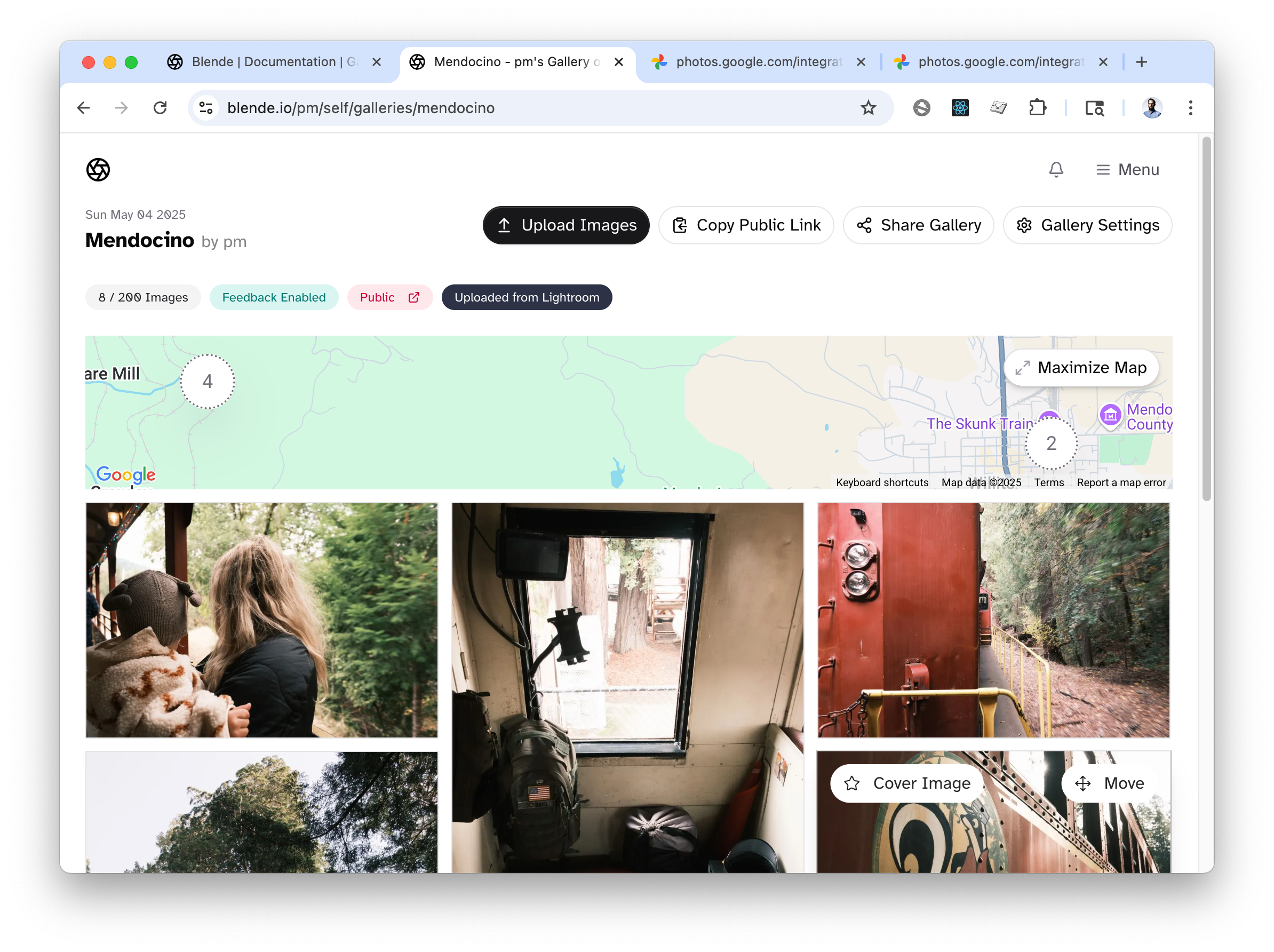
- On the gallery overview page, showing a map with all images in the gallery.
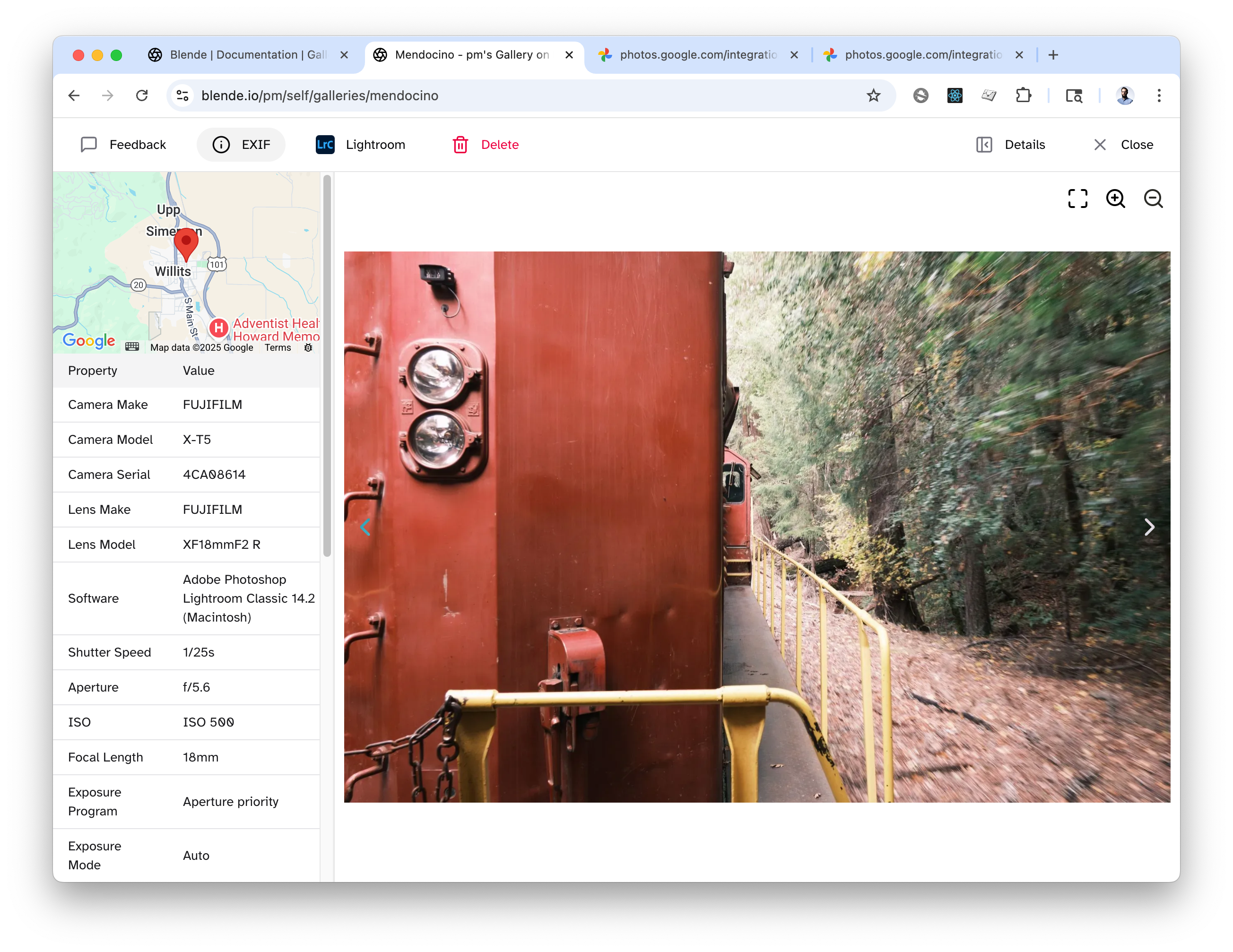
- In the image details panel, showing the location of the individual image.
Enabling Maps
Keep in mind that maps will only be displayed if the images have location data available. If no location data is available, no map will be shown.
To enable maps, click on the "Gallery Settings" button when viewing your gallery to bring up all settings for the gallery.
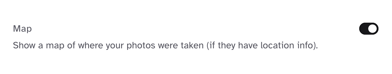
From there, toggle the "Map" option to enable maps for the gallery. Then hit save and you're done!
Examples
Gallery Overview Map Collapsed
Gallery Overview Map Expanded
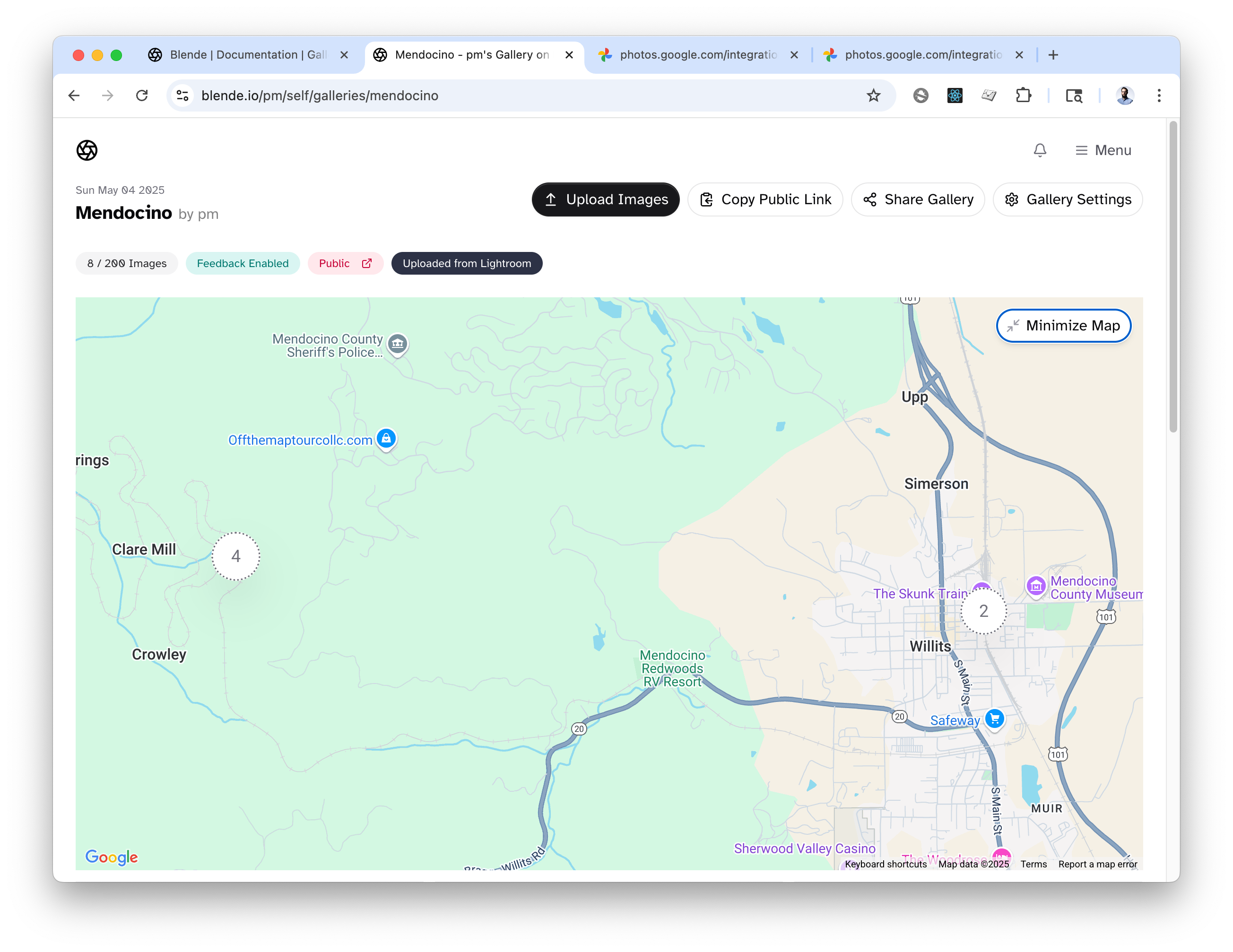
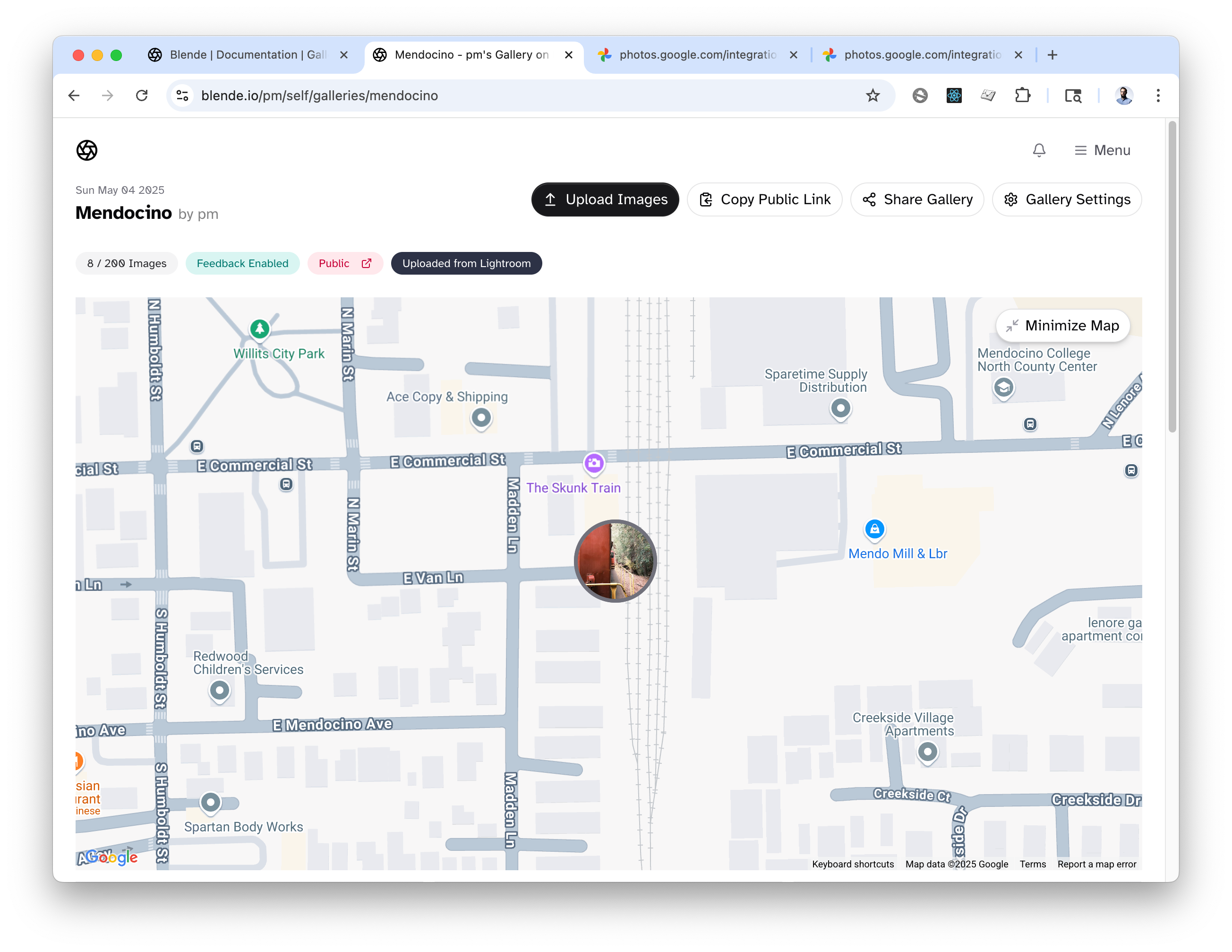
Image Details Map